Weather Warnings Archive: Wednesday 24 Jan 2024 08:00 GMT - UK


Severe Weather Warnings: Wind
issued by the Metoffice at
08:00, 24.01.2024
valid from
16:00, 23.01.2024
until
13:00, 24.01.2024
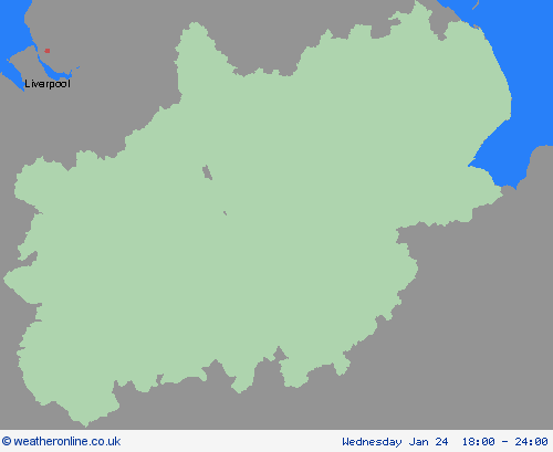
Region: West Midlands
A spell of strengthening west or southwesterly winds is expected to affect Northern Ireland, north Wales, northern England and Scotland from Tuesday evening, associated with Storm Jocelyn. Winds are widely expected to gust to 55-65 mph, with a few exposed locations possibly seeing in excess of 70 mph, although the greatest likelihood of these is now highlighted with an Amber warning. Gusts of 55-65mph are fairly typical for a winter storm across these areas, but following the impacts caused by Storm Isha resilience is expected to be lower and it may also hamper any ongoing recovery and repair efforts. What should I do? Prepare to protect your property and people from injury. Check for loose items outside your home and plan how you could secure them. Items include; bins, garden furniture, trampolines, tents, sheds and fences. Give yourself the best chance of avoiding delays by checking road conditions if driving, or bus and train timetables, amending your travel plans if necessary. People cope better with power cuts when they have prepared for them in advance. It’s easy to do; consider gathering torches and batteries, a mobile phone power pack and other essential items. If you are on the coast, stay safe during stormy weather by being aware of large waves. Even from the shore large breaking waves can sweep you off your feet and out to sea. Take care if walking near cliffs; know your route and keep dogs on a lead. In an emergency, call 999 and ask for the Coastguard. Be prepared for weather warnings to change quickly. When a weather warning is issued, the Met Office recommends staying up to date with the weather forecast in your area.
Chief ForecasterStrong winds are expected in association with Storm Jocelyn, leading to possible disruption to travel and utilities.
The public is advised to take extra care, further information and advice can be found here: http://www.metoffice.gov.uk/weather/uk/links.html
Severe Weather Warnings: Wind
issued by the Metoffice at
08:00, 24.01.2024
valid from
12:00, 23.01.2024
until
15:00, 24.01.2024
Region: West Midlands
A spell of strong winds associated with Storm Jocelyn is expected to develop across this region during Tuesday afternoon, peaking overnight into Wednesday morning, before easing across most areas by midday. However, winds are likely to remain strong across and just to the east of the Pennines until early Wednesday afternoon. Peak gusts of 45-55mph are likely inland, perhaps 65mph on some exposed coasts. What should I do? Give yourself the best chance of avoiding delays by checking road conditions if driving, or bus and train timetables, amending your travel plans if necessary. People cope better with power cuts when they have prepared for them in advance. It’s easy to do; consider gathering torches and batteries, a mobile phone power pack and other essential items. If you are on the coast, stay safe during stormy weather by being aware of large waves. Even from the shore large breaking waves can sweep you off your feet and out to sea. Take care if walking near cliffs; know your route and keep dogs on a lead. In an emergency, call 999 and ask for the Coastguard. Be prepared for weather warnings to change quickly: when a weather warning is issued, the Met Office recommends staying up to date with the weather forecast in your area.
Chief ForecasterA spell of strong winds associated with Storm Jocelyn is expected to affect the area leading to some localised disruption.
The public is advised to take extra care, further information and advice can be found here: http://www.metoffice.gov.uk/weather/uk/links.html


