Weather Warnings Archive: Monday 15 Jan 2024 12:06 GMT - UK


00:00-06:00

06:00-12:00

12:00-18:00

18:00-24:00


Severe Weather Warnings: Cancelled
issued by the Metoffice at
12:06, 15.01.2024
valid from
00:00, 17.01.2024
until
23:59, 18.01.2024
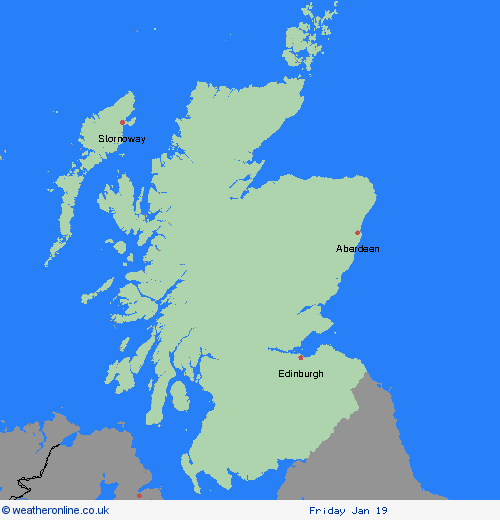
Region: Strathclyde
Severe Weather Warnings: Snow/Ice
issued by the Metoffice at
12:06, 15.01.2024
valid from
00:00, 17.01.2024
until
23:59, 17.01.2024
Region: Strathclyde
Throughout this period frequent snow showers will continue to push inland across parts of Scotland and much of Northern Ireland, the heaviest snowfall will likely occur in hilly areas inland from the coastlines exposed to the north to northwesterly wind. In these areas an additional 5-10 cm of snow is likely, and there is the potential for a further 15-20 cm of snow in a few locations during Wednesday (especially across Scotland). Areas further inland from these most exposed regions are likely to see lower snowfall amounts, with perhaps a 1 cm or so most probable here, with a chance of an isolated spot approaching 5 cm. Ice will be an additional hazard across the highlighted region. What should I do? Snowy, wintry weather can cause delays and make driving conditions dangerous, so to keep yourself and others safe: Plan your route, checking for delays and road closures, amending your travel plans if necessary; If driving, leave more time to prepare and check your car before setting off; Make sure you have essentials packed in your car in the event of any delays (e.g., warm clothing, food, water, a blanket, a torch, ice scraper/de icer, a warning triangle, high visibility vest and an in-car phone charger). Be prepared for weather warnings to change quickly: when a weather warning is issued, the Met Office recommends staying up to date with the weather forecast in your area.
Chief ForecasterFrequent heavy snow showers will continue to push inland, likely disrupting travel across the region.
The public is advised to take extra care, further information and advice can be found here: http://www.metoffice.gov.uk/weather/uk/links.html


15.01.2024