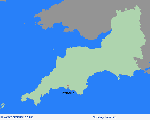
Weather Warnings Archive: Thursday 21 Nov 2024 10:20 GMT - UK


Severe Weather Warnings: Snow
issued by the Metoffice at
10:20, 21.11.2024
valid from
05:00, 21.11.2024
until
15:00, 21.11.2024
Region: South West England
A spell of rain and snow is expected to develop across south and southwest England early on Thursday. Accumulating snow is most likely over higher ground above 200 metres where 2-5 cm is probable. There is a chance that similar accumulations occur at lower levels in places. Higher parts of Dartmoor could see 10-15 cm. There is also likely to be a risk of ice developing as skies clear into Thursday night. What should I do? Snowy, wintry weather can cause delays and make driving conditions dangerous. Keep yourself and others safe by planning your route, giving yourself extra time for your journey. Check for road closures or delays to public transport and amend plans if necessary. If driving, make sure you have some essentials in your car in the event of any delays (e.g., warm clothing, food, water, a blanket, a torch, ice scraper/de-icer, a warning triangle, high visibility vest and an in-car phone charger). Be prepared for weather warnings to change quickly: when a weather warning is issued, the Met Office recommends staying up to date with the weather forecast in your area.
Chief ForecasterSnow over higher parts of south and southwest England may lead to some travel delays, with a chance of snow to lower levels too
The public is advised to take extra care, further information and advice can be found here: http://www.metoffice.gov.uk/weather/uk/links.html
21.11.2024


