Weather Warnings Archive: Monday 15 Jan 2024 05:01 GMT - UK


00:00-06:00

06:00-12:00

12:00-18:00

18:00-24:00


Severe Weather Warnings: Snow/Ice
issued by the Metoffice at
05:01, 15.01.2024
valid from
03:00, 15.01.2024
until
09:00, 16.01.2024
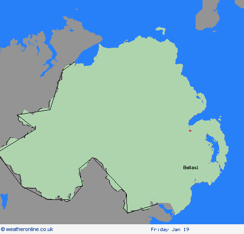
Region: Northern Ireland
Brisk northerly winds will drive showers well inland across Northern Ireland on Monday, with these initially falling as snow over higher ground and sleet and rain elsewhere. However, as increasingly cold air spreads south, showers will fall as snow to all levels by late morning. Up to 5 cm of snow is likely over higher routes such as the Coleraine Mountain road and Glenshane Pass. At lower levels, a few cms can be expected, with northern counties expected to see the more frequent showers. Ice will be an additional hazard for all areas into the evening. What should I do? Snowy, wintry weather can cause delays and make driving conditions dangerous. Keep yourself and others safe by planning your route, giving yourself extra time for your journey. Check for road closures or delays to public transport and amend plans if necessary. If driving, make sure you have some essentials in your car in the event of any delays (e.g., warm clothing, food, water, a blanket, a torch, ice scraper/de icer, a warning triangle, high visibility vest and an in-car phone charger). If you need to make a journey on foot, try to use pavements along main roads which are likely to be less slippery. Similarly, if cycling, try and stick to main roads which are more likely to have been treated. Be prepared for weather warnings to change quickly: when a weather warning is issued, the Met Office recommends staying up to date with the weather forecast in your area.
Chief ForecasterShowers, increasingly falling as snow, bringing some disruption to parts of Northern Ireland
The public is advised to take extra care, further information and advice can be found here: http://www.metoffice.gov.uk/weather/uk/links.html


15.01.2024