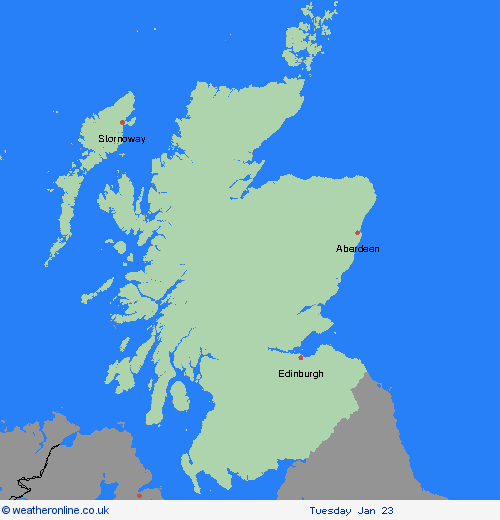
Weather Warnings Archive: Friday 19 Jan 2024 11:16 GMT - UK


Severe Weather Warnings: Rain
issued by the Metoffice at
11:16, 19.01.2024
valid from
15:00, 21.01.2024
until
23:59, 21.01.2024
Region: Grampian
Widespread rain will extend northeast through much of the warning areas on Sunday, and will be heavy at times especially over the hills. Accumulations of 30 to 50 mm are expected over high ground bringing a risk of flooding. Milder conditions will also lead to a steady thaw of any remaining lying snow. What should I do? Check if your property could be at risk of flooding. If so, consider preparing a flood plan and an emergency flood kit. Give yourself the best chance of avoiding delays by checking road conditions. You may need to amend or even cancel journeys if driving conditions are dangerous. Keep up to date with bus and train timetables for delays or cancellations. It is not safe to drive, walk or swim through floodwater, avoid it where possible and if you are affected by fast flowing or deep-water call 999, and wait for help. People cope better with power cuts when they have prepared for them in advance. It’s easy to do; consider gathering torches and batteries, a mobile phone power pack and other essential items. Be prepared for weather warnings to change quickly. When a weather warning is issued, the Met Office recommends staying up to date with the weather forecast in your area.
Chief ForecasterHeavy rain will lead to some flooding and transport disruption on Sunday.
The public is advised to take extra care, further information and advice can be found here: http://www.metoffice.gov.uk/weather/uk/links.html
Severe Weather Warnings: Wind
issued by the Metoffice at
11:16, 19.01.2024
valid from
12:00, 21.01.2024
until
12:00, 22.01.2024
Region: Grampian
Strong winds associated with Storm Isha are expected to develop widely across the UK on Sunday, persisting into Monday across parts of England and Wales. Within the warning area, many places are likely to see southwesterly winds gust to around 50-60 mph and gusts may reach 60-70 mph for exposed locations (e.g. coasts). There remains a chance of stronger winds impacting parts of this area for a time but this aspect remains uncertain with further updates to the warning to be expected over the coming days. What should I do? Prepare to protect your property and people from injury. Check for loose items outside your home and plan how you could secure them. Items include; bins, garden furniture, trampolines, tents, sheds and fences. Give yourself the best chance of avoiding delays by checking road conditions if driving, or bus and train timetables, amending your travel plans if necessary. People cope better with power cuts when they have prepared for them in advance. It’s easy to do; consider gathering torches and batteries, a mobile phone power pack and other essential items. If you are on the coast, particularly in this instance on west- and south-facing coasts, stay safe during this stormy weather by being aware of large waves. Even from the shore large breaking waves can sweep you off your feet and out to sea. Take care if walking near cliffs; know your route and keep dogs on a lead. In an emergency, call 999 and ask for the Coastguard. Be prepared for weather warnings to change quickly. When a weather warning is issued, the Met Office recommends staying up to date with the weather forecast in your area.
Chief ForecasterStrong winds associated with Storm Isha may bring disruption to travel and utilities across parts of the UK on Sunday and Monday.
The public is advised to take extra care, further information and advice can be found here: http://www.metoffice.gov.uk/weather/uk/links.html
19.01.2024


