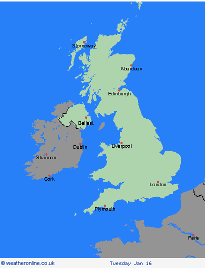
Weather Warnings Archive: Saturday 13 Jan 2024 08:52 GMT - UK


00:00-06:00

06:00-12:00

12:00-18:00

18:00-24:00


Severe Weather Warnings: Snow/Ice
issued by the Metoffice at
08:52, 13.01.2024
valid from
00:00, 15.01.2024
until
23:59, 15.01.2024
Region: Orkney & Shetland
Frequent snow showers will continue to affect northern Scotland through Monday. A spell of strong northerly winds affecting the Northern Isles and northeast Scotland during the day will also result in drifting of lying snow in places. Whilst accumulations will vary due to the nature of showers, 2-5 cm of snow is expected in many places. Where showers become more organised, there is a chance some low-lying areas could see 10 cm in a few hours. What should I do? Snowy, wintry weather can cause delays and make driving conditions dangerous, so to keep yourself and others safe: plan your route, checking for delays and road closures, amending your travel plans if necessary; if driving, leave more time to prepare and check your car before setting off; make sure you have essentials packed in your car in the event of any delays (warm clothing, food, water, a blanket, a torch, ice scraper/de-icer, a warning triangle, high visibility vest and an in-car phone charger). If making a journey on foot, try to use pavements along main roads which are likely to be less slippery. Similarly, if cycling, try and stick to main roads which are more likely to have been treated. People cope better with power cuts when they have prepared for them in advance. It’s easy to do; consider gathering torches and batteries, a mobile phone power pack and other essential items. Be prepared for weather warnings to change quickly: when a weather warning is issued, the Met Office recommends staying up to date with the weather forecast in your area.
Chief ForecasterFrequent snow showers are likely to cause further disruption to travel on Monday
The public is advised to take extra care, further information and advice can be found here: http://www.metoffice.gov.uk/weather/uk/links.html
Severe Weather Warnings: Snow/Ice
issued by the Metoffice at
08:52, 13.01.2024
valid from
00:00, 15.01.2024
until
23:59, 15.01.2024
Region: Highland & Eilean Siar
Frequent snow showers will continue to affect northern Scotland through Monday. A spell of strong northerly winds affecting the Northern Isles and northeast Scotland during the day will also result in drifting of lying snow in places. Whilst accumulations will vary due to the nature of showers, 2-5 cm of snow is expected in many places. Where showers become more organised, there is a chance some low-lying areas could see 10 cm in a few hours. What should I do? Snowy, wintry weather can cause delays and make driving conditions dangerous, so to keep yourself and others safe: plan your route, checking for delays and road closures, amending your travel plans if necessary; if driving, leave more time to prepare and check your car before setting off; make sure you have essentials packed in your car in the event of any delays (warm clothing, food, water, a blanket, a torch, ice scraper/de-icer, a warning triangle, high visibility vest and an in-car phone charger). If making a journey on foot, try to use pavements along main roads which are likely to be less slippery. Similarly, if cycling, try and stick to main roads which are more likely to have been treated. People cope better with power cuts when they have prepared for them in advance. It’s easy to do; consider gathering torches and batteries, a mobile phone power pack and other essential items. Be prepared for weather warnings to change quickly: when a weather warning is issued, the Met Office recommends staying up to date with the weather forecast in your area.
Chief ForecasterFrequent snow showers are likely to cause further disruption to travel on Monday
The public is advised to take extra care, further information and advice can be found here: http://www.metoffice.gov.uk/weather/uk/links.html
Severe Weather Warnings: Snow/Ice
issued by the Metoffice at
08:52, 13.01.2024
valid from
00:00, 15.01.2024
until
23:59, 15.01.2024
Region: Grampian
Frequent snow showers will continue to affect northern Scotland through Monday. A spell of strong northerly winds affecting the Northern Isles and northeast Scotland during the day will also result in drifting of lying snow in places. Whilst accumulations will vary due to the nature of showers, 2-5 cm of snow is expected in many places. Where showers become more organised, there is a chance some low-lying areas could see 10 cm in a few hours. What should I do? Snowy, wintry weather can cause delays and make driving conditions dangerous, so to keep yourself and others safe: plan your route, checking for delays and road closures, amending your travel plans if necessary; if driving, leave more time to prepare and check your car before setting off; make sure you have essentials packed in your car in the event of any delays (warm clothing, food, water, a blanket, a torch, ice scraper/de-icer, a warning triangle, high visibility vest and an in-car phone charger). If making a journey on foot, try to use pavements along main roads which are likely to be less slippery. Similarly, if cycling, try and stick to main roads which are more likely to have been treated. People cope better with power cuts when they have prepared for them in advance. It’s easy to do; consider gathering torches and batteries, a mobile phone power pack and other essential items. Be prepared for weather warnings to change quickly: when a weather warning is issued, the Met Office recommends staying up to date with the weather forecast in your area.
Chief ForecasterFrequent snow showers are likely to cause further disruption to travel on Monday
The public is advised to take extra care, further information and advice can be found here: http://www.metoffice.gov.uk/weather/uk/links.html
Severe Weather Warnings: Snow/Ice
issued by the Metoffice at
08:52, 13.01.2024
valid from
03:00, 15.01.2024
until
23:59, 15.01.2024
Region: Northern Ireland
Brisk northerly winds will drive showers well inland across Northern Ireland on Monday, with these initially falling as snow over higher ground and sleet and rain elsewhere. However, as increasingly cold air spreads south, showers will fall as snow to all levels by late morning. Up to 5 cm of snow is likely over higher routes such as the Coleraine Mountain road and Glenshane Pass. At lower levels, a few cms can be expected, with northern counties expected to see the more frequent showers. Ice will be an additional hazard for all areas into the evening. What should I do? Snowy, wintry weather can cause delays and make driving conditions dangerous. Keep yourself and others safe by planning your route, giving yourself extra time for your journey. Check for road closures or delays to public transport and amend plans if necessary. If driving, make sure you have some essentials in your car in the event of any delays (e.g., warm clothing, food, water, a blanket, a torch, ice scraper/de icer, a warning triangle, high visibility vest and an in-car phone charger). If you need to make a journey on foot, try to use pavements along main roads which are likely to be less slippery. Similarly, if cycling, try and stick to main roads which are more likely to have been treated. Be prepared for weather warnings to change quickly: when a weather warning is issued, the Met Office recommends staying up to date with the weather forecast in your area.
Chief ForecasterShowers, increasingly falling as snow, bringing some disruption to parts of Northern Ireland
The public is advised to take extra care, further information and advice can be found here: http://www.metoffice.gov.uk/weather/uk/links.html


13.01.2024