Weather Warnings Archive: Monday 15 Jan 2024 12:07 GMT - UK


00:00-06:00

06:00-12:00

12:00-18:00

18:00-24:00


Severe Weather Warnings: Ice
issued by the Metoffice at
12:07, 15.01.2024
valid from
00:00, 17.01.2024
until
12:00, 17.01.2024
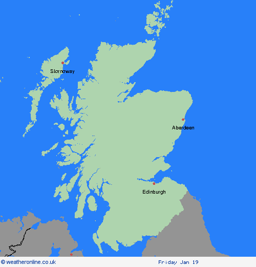
Region: SW Scotland, Lothian Borders
Following the sleet and snowfall across the region on Tuesday, which will have cleared this area by the start of Wednesday, temperatures will widely fall well below freezing. This will lead to the refreezing of slush and snow, and ice forming on many surfaces. What should I do? Keep yourself and your family safe when it is icy. Plan to leave the house at least five minutes earlier than normal. Not needing to rush, reduces your risk of accidents, slips, and falls. If you need to make a journey on foot or by bike, try to use pavements along main roads which are likely to be less slippery. Give yourself the best chance of avoiding delays by checking road conditions if driving, or bus and train timetables, amending your travel plans if necessary. Be prepared for weather warnings to change: when a weather warning is issued, the Met Office recommends staying up to date with the weather forecast in your area.
Chief ForecasterFollowing sleet and snowfall on Tuesday, a fairly widespread ice risk is expected overnight into Wednesday morning.
The public is advised to take extra care, further information and advice can be found here: http://www.metoffice.gov.uk/weather/uk/links.html
Severe Weather Warnings: Cancelled
issued by the Metoffice at
12:07, 15.01.2024
valid from
00:00, 17.01.2024
until
23:59, 18.01.2024
Region: SW Scotland, Lothian Borders
15.01.2024