Weather Warnings Archive: Monday 01 Jan 2024 10:56 GMT - UK


00:00-06:00

06:00-12:00

12:00-18:00

18:00-24:00


Severe Weather Warnings: Rain
issued by the Metoffice at
10:56, 01.01.2024
valid from
17:00, 01.01.2024
until
21:00, 02.01.2024
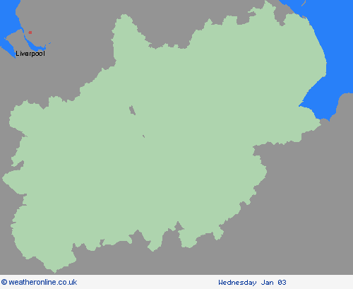
Region: East Midlands
Following recent wet weather, further spells of rain, heavy in places are expected on Monday evening and overnight. Then after a brief gap, another spell of heavy rain is likely to spread northeastwards on Tuesday. The focus this evening and overnight will be across parts of southwest and southern England, south Wales and perhaps the Midlands. On Tuesday the focus for the heaviest rain is less clear-cut but perhaps more likely across parts of Wales, the Midlands towards eastern England and Yorkshire. Over the warning period, 15 to 30 mm rain is likely to fall fairly widely, with a few places seeing 35 to 50 mm. The worst of the rain should clear southwestern areas of England and south Wales by around the middle of Tuesday but could last into the evening across the northeast of the warning area. Strong winds will affect parts of the area, with a separate wind warning in place. What should I do? Check if your property could be at risk of flooding. If so, consider preparing a flood plan and an emergency flood kit. Give yourself the best chance of avoiding delays by checking road conditions if driving, or bus and train timetables, amending your travel plans if necessary. People cope better with power cuts when they have prepared for them in advance. It’s easy to do; consider gathering torches and batteries, a mobile phone power pack and other essential items. Be prepared for weather warnings to change quickly: when a weather warning is issued, the Met Office recommends staying up to date with the weather forecast in your area.
Chief ForecasterHeavy rain falling on saturated ground is likely to cause some travel disruption.
The public is advised to take extra care, further information and advice can be found here: http://www.metoffice.gov.uk/weather/uk/links.html

01.01.2024